
What I Learned about Working Waterfronts
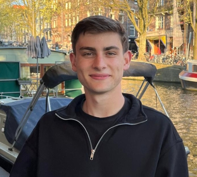
Written by Lorenzo Shields, 2026 MCFA Intern
When MCFA encouraged me to take on a summer project focused on working waterfronts, I envisioned postcard-worthy harbors with weathered docks, grizzled fishermen, and the smell of salt and engine oil. I expected to document a landscape shaped by nostalgia and an industry that had perhaps shifted out of commercial relevance. However, as I jumped into my project inventorying and GIS-mapping the working waterfront of a town called Southwest Harbor up near Acadia National Park, I quickly discovered that my earlier preconception was overly simplistic.

Through my site visits and research, I learned that working waterfronts are much more than places where boats tie up. They connect coastal communities to the water and support industries ranging from commercial fishing and lobstering to aquaculture, boatbuilding, and marine transportation. They also provide the infrastructure that sustains local economies, preserves maritime heritage, and keeps seafood moving from the coast to communities across the country.
Southwest Harbor is one of the picturesque towns on Mount Desert Island. Located just a few miles from Acadia National Park, it's known for its rich maritime heritage, colorful harbor, and close-knit community. Surrounded by rugged shorelines and forests, it offers a blend of working waterfront traditions and natural beauty that make it a particularly interesting destination on Maine’s Downeast coast.
To start understanding today's waterfront, though, it helps to understand the people who were connected to this harbor long before the town itself existed. The original stewards of the waterfront were the Wabanaki people, particularly the Penobscot and Passamaquoddy, who knew the area as "Pemetic," meaning "sloping land." For thousands of years, they came seasonally to fish, hunt, and gather shellfish and berries along the same shoreline that I've spent my summer mapping.
Thinking back to the Wabanaki's interactions with the area helped me realize that this wasn't a waterfront that had just always existed the way it looks today; it was something a community had actively built, split off, and reshaped over time, long before I ever showed up with my ArcGIS technology.
One thing I didn't expect was how differently I'd start looking at the map itself. After spending weeks adding points and attributes to my GIS map of Southwest Harbor, I stopped seeing it as a collection of docks, piers, fuel stations, and boatyards. Every point represented a piece of a much larger system. The working waterfront wasn't a handful of independent businesses, but rather a network where every part depended on the others to keep the whole thing running.
The area's cannery history made that especially clear. At its peak, Southwest Harbor's canneries were large enough to bus workers in from surrounding towns like Ellsworth and Lamoine, and each plant ran on a unique rhythm. A bell that could be heard for miles signaled activity when boats were arriving at the factory, while different whistle codes told workers when shifts would begin and what they were going to be doing. It wasn't simply a building where fish were processed. It was the center of an entire logistical system that connected fishermen, processors, transportation, and the local community.
Looking at those same locations on my map today, often under different names or serving entirely different purposes, makes it easy to overlook or gloss over the decades and even centuries of action and change that had happened there. But the more I researched, the more I realized that every pin on my GIS map represented project after project, decade over decade, the work of thousands of people across generations. The map wasn't just showing where today's working waterfront exists; it was also preserving traces of the waterfronts that came before it.
That perspective became even more apparent as I dug into documentation about the region's fisheries. In 1861, fishermen around Mount Desert Island landed roughly nine million pounds of cod, a level of abundance that's unheard of today. By the 1950s and 1960s, however, the cod industry had largely collapsed due to new technology, overfishing and foreign fleets abusing the resource. Cod wasn't the only species to tell that story. But the Magnuson-Stevens Act of 1976, as well as improved science and management practices that include input and feedback from fishermen, helped fisheries recover and the fishing industry continue landing high-quality fish. As the fisheries changed, so did the working waterfront that depended on them.
What stood out to me, though, wasn't just the story of decline; it was the story of adaptation. When the local herring fishery collapsed, the canneries kept operating by importing herring from elsewhere, giving workers more time before the industry inevitably declined. When the last cannery eventually closed in the early 2000s, many of the women who had worked as packers in the canning plants found employment in the island's growing hospitality industry. The waterfront evolved, but the community evolved with it.

That same resilience is still visible today. Southwest Harbor continues to invest in its working waterfront through projects that stabilize shorelines, repair piers, and rebuild floats with support from FEMA, the Maine Department of Transportation, and NOAA. Despite the many changes the waterfront has experienced, commercial fishing remains at the heart of Southwest Harbor. Fishermen continue to rely on the rugged, cold waters of the Gulf of Maine and 87 commercial fishing vessels still call Southwest Harbor their home. While lobster now dominates the local fishery, fishermen have continued to diversify their catch with Jonah crab and once again Menhaden now being the most predominant species being caught. In this past year alone, Southwest Harbor fishermen landed approximately 1.75 million pounds of lobster generating an estimated value around $11.3 million for the local economy. The challenges facing the harbor are different than they were a century ago, but the response has remained remarkably consistent - that is, adapt, rebuild, and keep the waterfront working.
When I started this project, I may have thought working waterfronts were charming relics of the past, but by the end of the summer, I realized they are anything but. They're constantly adapting to new environmental, economic, and social challenges. The boats, industries, and infrastructure may change, but the connection between coastal communities and the water remains remarkably resilient and I am extremely grateful to have been given the privilege to witness and document it firsthand.


Comments